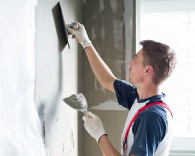
Artexing a ceiling can be a tricky job, but whether you’re considering hiring a professional or DIY, it’s helpful to know how it’s done.
Artex is available either in a paste or powder form. The paste is ideal if you’re making small repairs or additions to an existing ceiling. But, if you have a whole ceiling to cover, the powder is more cost effective. When you’re ready to get started, you’ll need to mix the powder up with cold water according to the instructions.
It’s possible to artex over plaster, plasterboard or paint. If you have a plasterboard surface, you should tape and fill any joints or cracks before you begin. Plaster and plasterboard both require a coat of sealant or primer first. You can usually artex straight over paint, but any gloss paint should be sanded down, and any dark paints covered with a layer of white.
Artexing can get quite messy, so make sure you empty the room you’re working in as much as possible, lay down sheets and wear protective clothing and glasses. You might want to practice on a piece of board before you start on the ceiling.
Start by using a brush or roller to cover a 500 square cm area with a generous layer of artex. Then use a brush, comb or roller to create your chosen texture. Every time you do a new section of ceiling, try to blend it with the other sections you’ve done. Don’t be tempted to cover the whole ceiling before you start adding texture – the artex will dry too quickly for you to do it all in time.
Artex usually needs 12-24 hours in a well-ventilated space to dry completely.