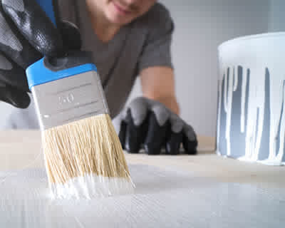
How To Paint A Room
Painting is a joyful task and it’s quite obvious why it’s one of the most popular DIY projects. Whether you’re painting as an experienced DIYer or as a newbie, this step by step guide will put you in the right direction. However, if you lack the confidence to carry out this task, then we’d recommend you get in touch with a seasoned professional who can guarantee the best results for help. This way, you get to save some time and additional money that would have resulted from possible costly errors.
So just before you head right into the task, there’s the need to determine the type of pain finish you would love to use which is to choose a colour. Now let’s get started!
• Prepare the room
✓ Remove all objects as much as you can from the room and cover the remaining furniture or objects with a sheet.
✓ Fill all holes on the surface to make for an even finish.
✓ Wash the wall with the help of a damp sponge. A sugar soap or diluted washing up liquid will work just fine.
✓ Tape the edges of objects you do not wish to paint like light switches, plug sockets and the likes.
• This step can be skipped if painting on an existing paint, but it’ll advisable to dilute small quantity of your selected paint to patch prime the holes that you’ve filled. If you have a large number of holes that was filled, then priming them would be smart.
• Mix or stir the paint thoroughly in a paint kettle to ensure an even and perfect mix.
• Now you’re ready to start painting! Start from the edges to form like a frame to work within with your roller. Once done, leave for about 4 to 6 hours to dry.
• For the second coat, simply repeat the above step to complete your painting project.